Accessibility Tools

Wetterhorn Basin Trail

Wetterhorn Basin provides extraordinary views of Wetterhorn Peak (14,015 ft.) and Coxcomb Peak (13,656 ft.) as well as Cow Creek.

  • Distance: 5.8 to 9.3 miles
  • Duration: 4 to 8 hours
  • Elevation: 10,750 to 12,522 feet
  • Difficulty: Moderate to Challenging
The Wetterhorn Basin Trail #226 begins at the end of Forest Service Road #860, West Fork Road, and ends at Forest Service Road #870. This trail is a popular and very scenic route leading into a remote part of the Uncompahgre Wilderness. The trail starts in open meadow surrounded by spruce/fir and ascends into an open basin in the upper West Fork. It then switchbacks, climbing steeply to the top of Wetterhorn Pass. After the first mile, the trail travels above timberline. There are specular views of Wetterhorn Peak rising 14,015 feet and Coxcomb Peak rising 13,656 feet as well as the Cow Creek drainage.
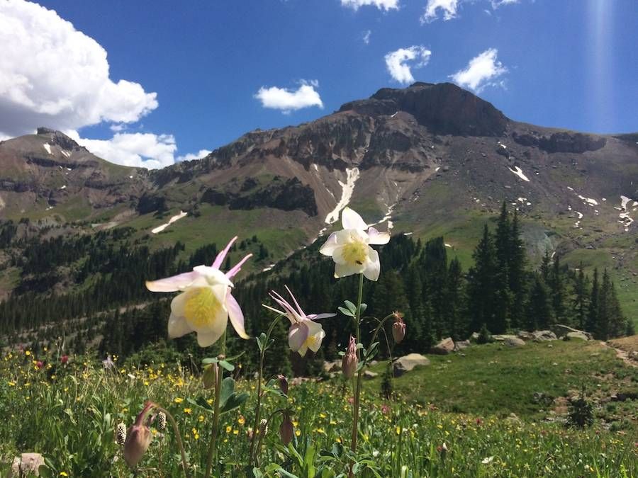
Image of columbine flowers in Wetterhorn Basin
Photo by: Hilary Lewkowitz

Visitors Center & Ridgway Area Chamber

The Ridgway Area Chamber of Commerce promotes business and community development in the Town of Ridgway and the surrounding area. The Ridgway Visitor Center, located at 150 Racecourse Road, Ridgway, Colorado 81432 (across from Citizens Bank off of HWY 62), The visitor center is closed as of October 1st and will reopen Memorial Day weekend.

P.O. Box 544
Ridgway, Colorado 81432

See you in Ridgway

Adventure, night life and all around easy living await you in Ridgway Colorado, gateway to the San Juan Mountains.

Copyright 2023 Ridgway Area Chamber of Commerce. View sitemap